Overland Flood Study
Consultation has concluded
Consultation period: 15 September to 15 October 2021
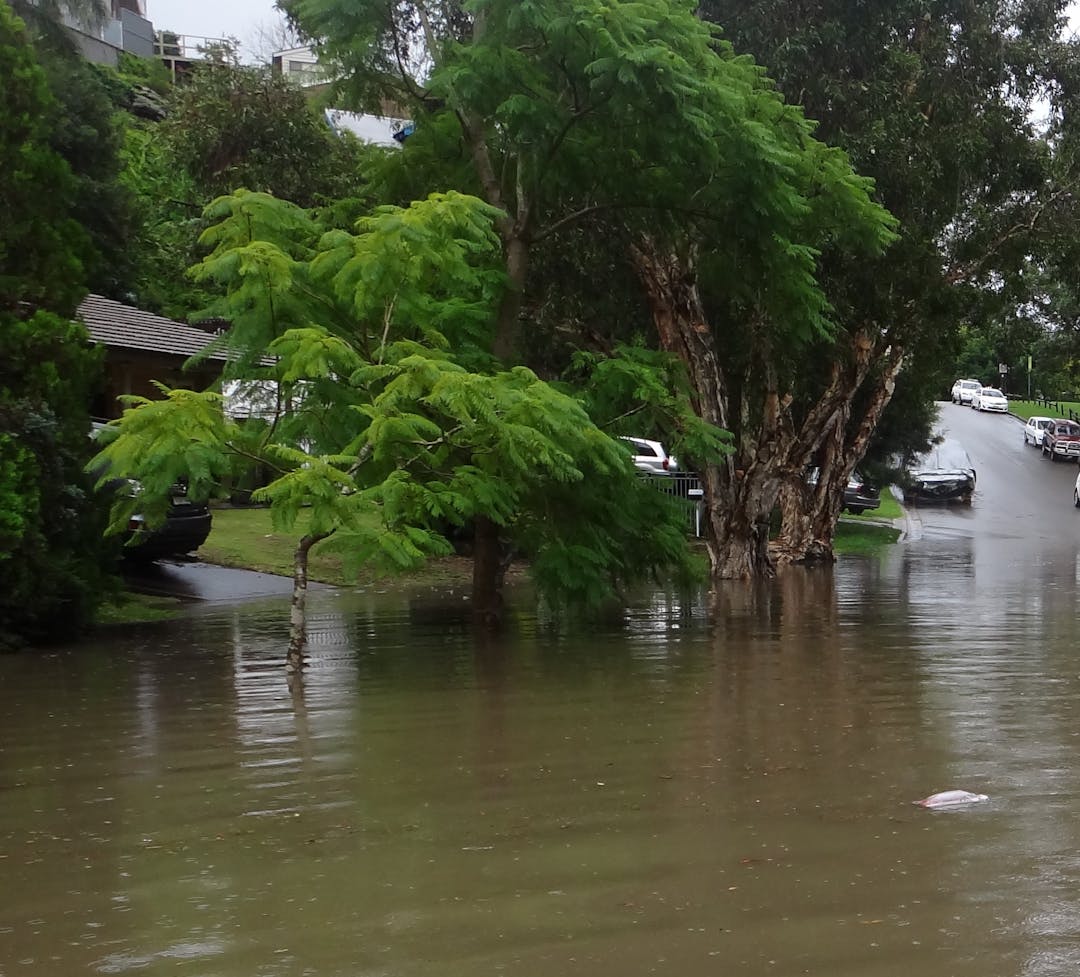
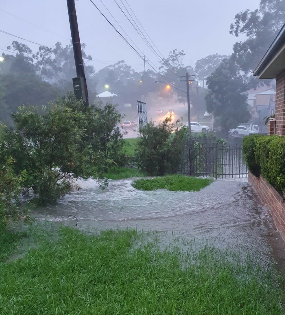
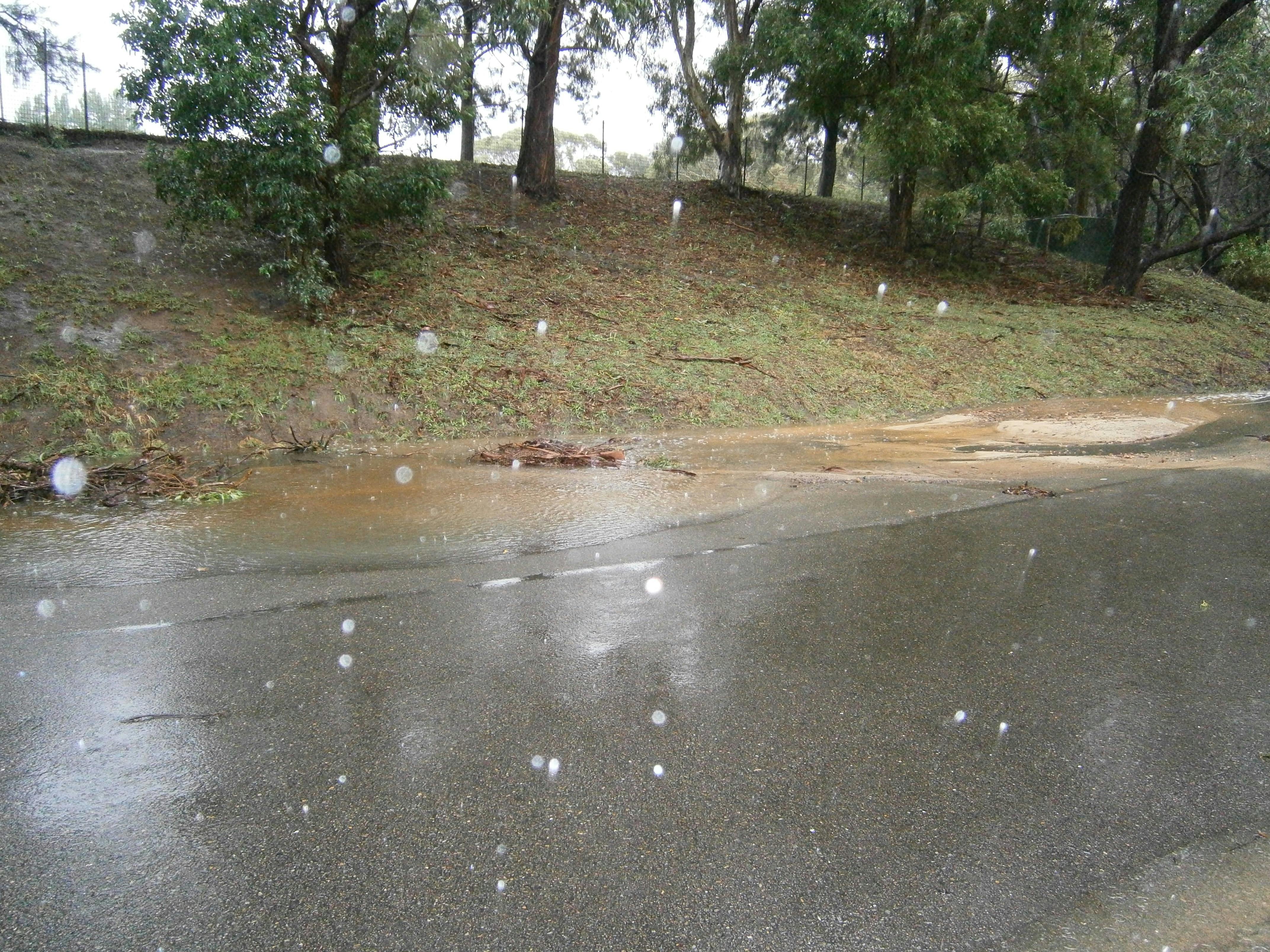
Many parts of the Sutherland Shire are subject to overland flooding and Council is in the process of studying this further. Overland flooding occurs when excess stormwater runoff that is not captured by a stormwater drainage system flows overland towards a waterway.
The study will provide information on flood behaviour, hazard and risk and will be used to:
- replace older information on flooding in the Sutherland Shire
- improve the application of Council’s flood-related development controls
- provide better information to the community on flooding
- proactively identify upgrade work for stormwater drainage
- assist with further overland flood studies, floodplain risk management studies and catchment management plans.
About the Overland Flood Study
Council is completing the overland flood study in collaboration with the Department of Planning, Industry & Environment, using the latest modelling techniques.
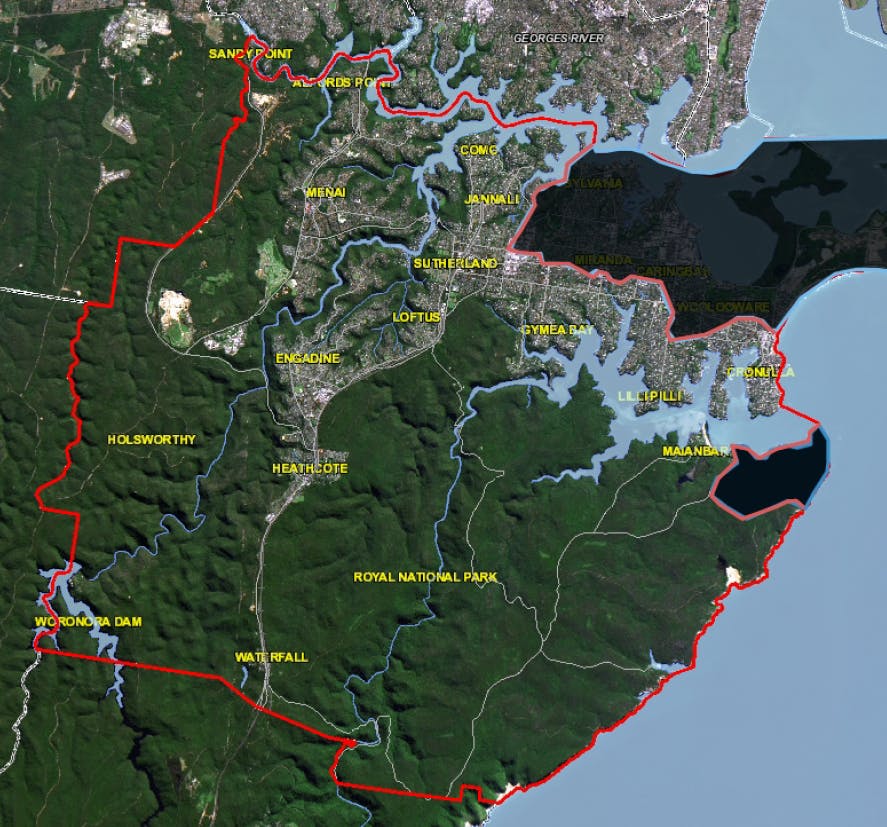
Flood studies have been completed for Gwawley Bay, Woolooware Bay, Kurnell Township and Bundeena Creek catchments. We are now looking at the remainder of the Sutherland Shire including:
- urban areas (excluding Gwawley, Woolooware, Bundeena and Kurnell sub-catchments)
- roads in non-urban areas (e.g. national parks, to the extent that overland flow could impact on flood emergency response).
We want to hear from you
To help inform our study we want to hear from residents and businesses about your experiences with flooding.
You can provide comments until Friday 15 October 2021:
- Online via our interactive map below, use the marker pins provided to add your comments
- In writing to Stormwater and Waterway Assets, Sutherland Shire Council, Locked Bag 17, Sutherland 1499.
Next steps
Council will review the information that is submitted from the community and prepare a draft Flood Study Report. This report will be publicly exhibited for final comments in March - April2023. The report will then be updated, finalised and formally adopted by Council.
Get involved - Sutherland Shire Floodplain Management Committee
The Floodplain Risk Management Committee includes representatives from the Department of Planning, Industry & Environment, SES, local community and Council. We are looking for community members to register your interest for the Committee. To find out more visit sutherlandshire.nsw.gov.au/Outdoors/Environment/Flooding
- Register your interest by emailing jjayanti@ssc.nsw.gov.au by 15 October 2021
- Include your name, phone number, email address and short description of your interest in the email.
For more information please contact our Stormwater and Waterway Assets team on 9710 0333.
Study area
Flooding in the Sutherland Shire
Who's listening
-
Sutherland Shire Council

Phone 9710 0333 -
Sutherland Shire Council

Phone 9710 0333