The draft plan was prepared with financial and technical assistance from the NSW Department of Planning, Industry and Environment and placed on public consultation between 29 November and 20 December 2021.
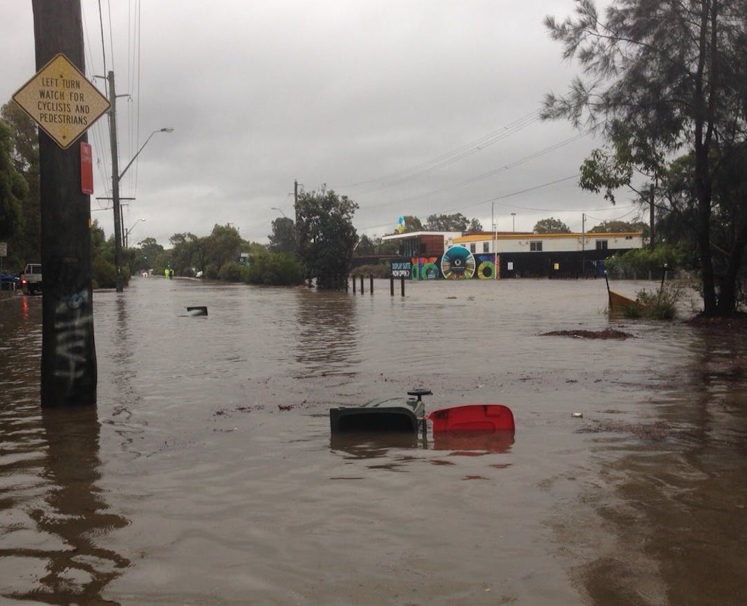
The draft plan shows the level of flood risk across the catchment and describes the environmental, social and economic impacts of flooding. There are 1,879 lots identified as flood affected in the catchment. This is for a probable maximumContinue reading
The draft plan was prepared with financial and technical assistance from the NSW Department of Planning, Industry and Environment and placed on public consultation between 29 November and 20 December 2021.
The draft plan shows the level of flood risk across the catchment and describes the environmental, social and economic impacts of flooding. There are 1,879 lots identified as flood affected in the catchment. This is for a probable maximum flood (PMF) event in the catchment - this means the largest possible flood event that could occur in this location. A flood notation is included for these lots in Section 10.7 of the planning certificate.
The draft plan recommends the following actions to reduce the flood risk in the catchment:
Update the Development Control Plan and flood impact assessment guideline
Complete a detailed feasibility assessment of voluntary redevelopment, flood proofing and fence modification
Improve flood access, road closures and notification
Prepare a flash flood warning system feasibility assessment
Develop and implement a community flood education and awareness program
Improve flood data management
Review and update the on-site detention policy
Integrate stormwater, waterway and catchment management initiatives.
We want to hear from you
To help inform our draft plan we want to hear from residents and businesses in the Woolooware Bay catchment.
You can provide comments until Monday 20 December 2021: